
Here you will find a selection of our latest tips and tricks and training video’s along with the free project files for you to have a go at.
Each project comes with its own video for you to watch that takes you through the creation of the project in the software from start to finish.
So go ahead and try out one of the projects out for yourself and share what you have made on the Vectric Forum!
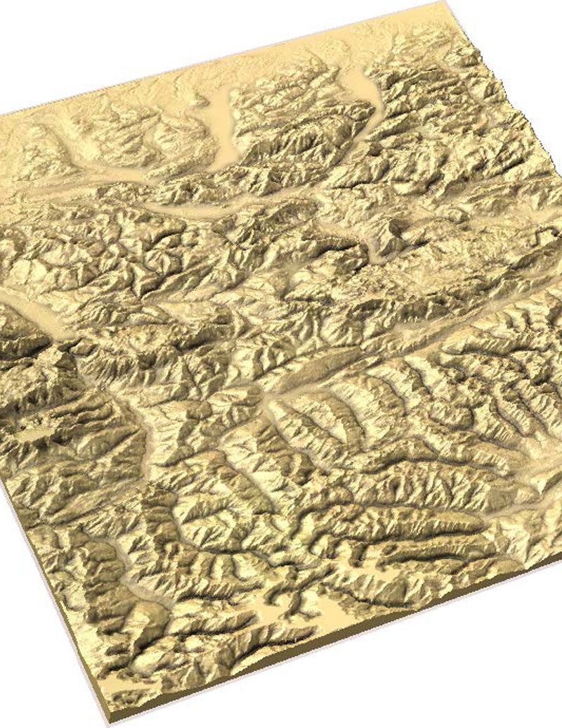
This year we hosted our User Group Meeting in Chicago. Technical Director Edward Powell presented how to carve terrain maps using data from satellite images. Take a look at the below video or download the presentation to find out more.

Suitable for version 9.5 or greater
Login to V&Co to download the files
LoginPlease access this page on a desktop computer to download the files

Vectric Ltd
Precision House
2 Arden Road
Alcester
B49 6HN
Registered in England Number 05382596
VAT Registration GB115123072
Privacy Policy |
Cookie Policy |
Terms and Conditions



