
Qui troverai una selezione dei nostri ultimi suggerimenti e trucchi, video di formazione e file di progetto gratuiti da provare.
Ogni progetto è corredato da un video che ti guiderà attraverso la creazione del progetto nel software, dall'inizio alla fine.
Quindi, prova tu stesso uno dei progetti e condividi ciò che hai realizzato sul forum Vectric!
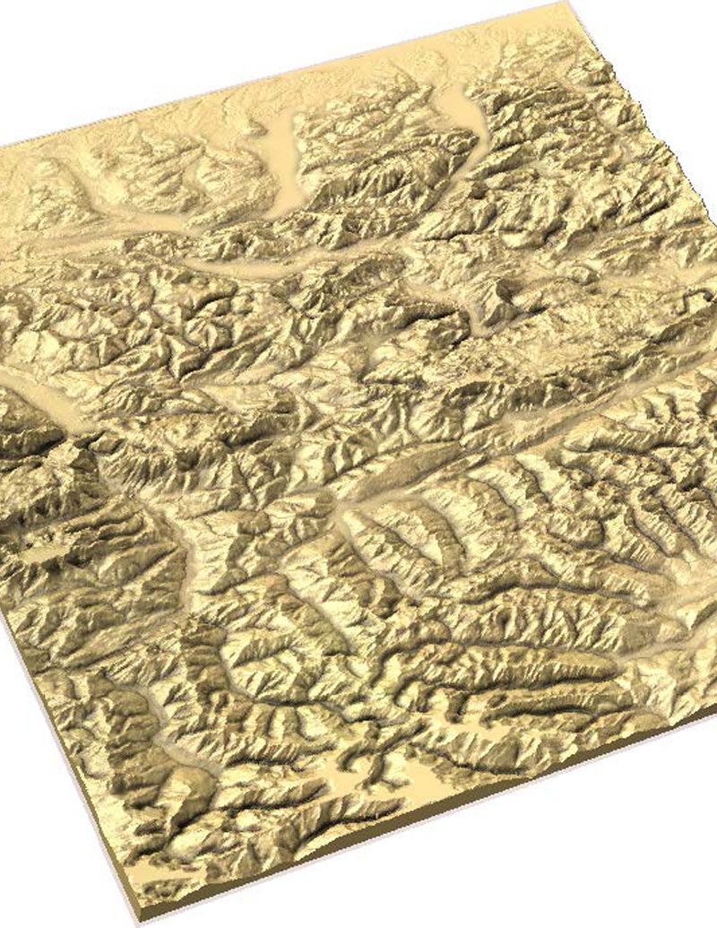
Quest'anno abbiamo ospitato il nostro incontro con gli utenti a Chicago. Il direttore tecnico Edward Powell ha illustrato come creare mappe del territorio utilizzando i dati delle immagini satellitari. Guardate il video qui sotto o scaricate la presentazione per saperne di più.
Adatto per versione 9.5 o maggiore
Login to V&Co to download the files
AccediPlease access this page on a desktop computer to download the files
Vectric Ltd
Precision House
2 Arden Road
Alcester
B49 6HN
Registrato in Inghilterra Numero 05382596
Partita IVA GB115123072
Politica sulla privacy |
Politica Sui Cookie |
Termini e condizioni


